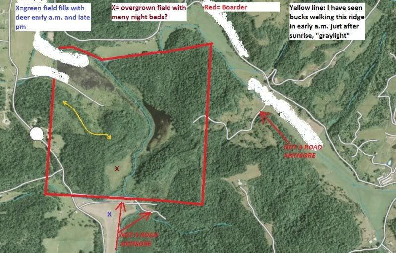
The green field to the South of the pic fills up with deer in the evenings just after dark. I have seen a couple of really good deer here.
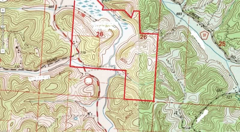
The places I notated as "not a road anymore" they used to be access routes by the private owner. The one to the east of the map is an access road to the owners barn.
The access I have can be on the access road I left blank on the west boarder....or I have permission to walk in from the green field edge.
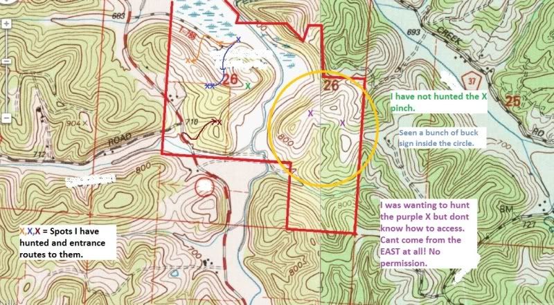
I would like any suggestions you guys may care to share with me. Hunting spots, access, bedding, etc.
I should have noted where I have hunted and how I approached last year. I want to try this area again later next week or the following week.
THANKS IN ADVANCE!!