


For the aerials, is there a way to make it switch to older, historical imagery like in Google Earth Pro? I've been putting the hybrid ONX screen next to a 2nd screen with Google Earth open and going back in time to see better differentiation of trees / edges as well as age back as much as the historical ages to see how old cutovers are. I couldn't find a similar function in ONX, but was wondering if anyone knew of some wizardry or sorcery to do so.
Am also noticing I can sometimes spot the coloration of the oak leaves if the timing of the aerial is right and everything else hasn't really turned yet. Being able to tag that and go right to it on scouting would be magnificent. As it is I'm dropping pins from just estimating based on common features to try to get close.
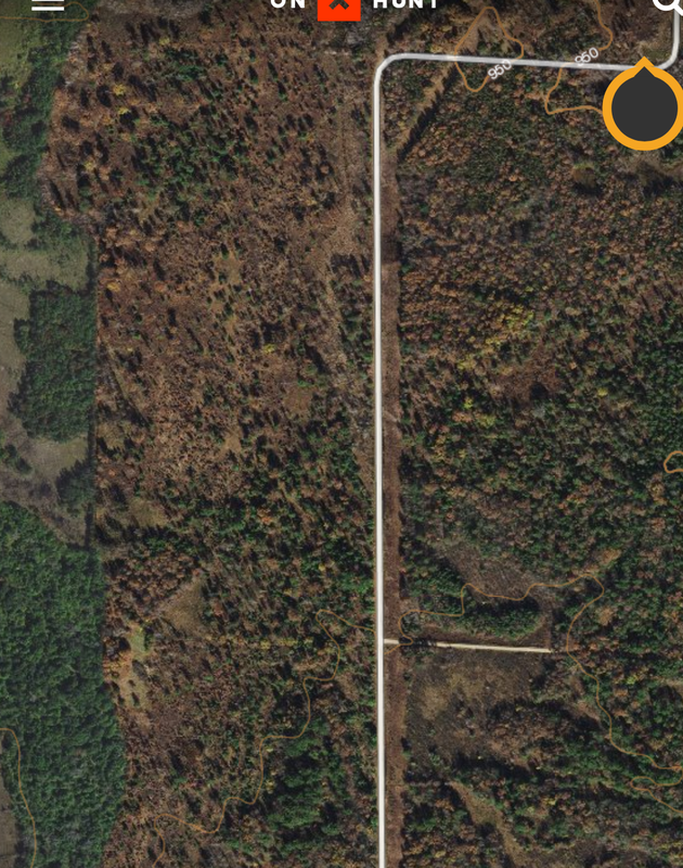
ONX Map Question
-
Waddams
- Posts: 189
- Joined: Fri Sep 18, 2020 2:33 am
- Status: Offline
-
Dewey

- Moderator
- Posts: 36751
- Joined: Thu Mar 11, 2010 7:57 pm
- Location: Wisconsin
- Status: Offline
Re: ONX Map Question
Nope. What you see is what you get. That’s my biggest gripe about Onx. Aerial resolution is still lagging behind other apps. I noticed some areas are better than others but still far from great detail.
-
RatMe
- Posts: 195
- Joined: Fri Apr 21, 2017 5:51 am
- Location: Maine
- Status: Offline
Re: ONX Map Question
Agreed. With all the marketing they do maybe they will filter that $$$$ back to the imagery. Less fancy features and better images.
I actually liked the older google earth version also. This high end 3D imagery makes me eyes pop.
I actually liked the older google earth version also. This high end 3D imagery makes me eyes pop.
-
Trout

- 500 Club
- Posts: 1495
- Joined: Wed Aug 08, 2018 1:59 pm
- Location: Big Woods MI
- Contact:
- Status: Offline
Re: ONX Map Question
I love onx and use it like crazy, but the aerials are better elsewhere and the topos are better elsewhere. Its kind of a jack of all trades, master of none.
-
rfickes87

- 500 Club
- Posts: 1076
- Joined: Wed Jul 06, 2016 4:27 am
- Location: PENNSYLVANIA
- Status: Offline
Re: ONX Map Question
Going back in time in google earth seems to be the best way still. I seem to rotate thru the same 5 resources when cyber scouting...
-google earth time line
-hillmap.com
-google maps
-Caltopo (because i don't like Onxmaps topo's)
-Onxmaps (for property lines and infield use)
I'm having a brain fart though ...I swear I just used a "leafless" layer in Onxmaps but now I can't find it. Anyone else come across this? Was is on one of those other sites? I swear I just used it to find some mountain laurel thickets and now I can't get back to it.
-google earth time line
-hillmap.com
-google maps
-Caltopo (because i don't like Onxmaps topo's)
-Onxmaps (for property lines and infield use)
I'm having a brain fart though
...I swear I just used a "leafless" layer in Onxmaps but now I can't find it. Anyone else come across this? Was is on one of those other sites? I swear I just used it to find some mountain laurel thickets and now I can't get back to it. "Pressure and Time. That's all it takes, really. Pressure, and time..."
-
john1984

- Posts: 4705
- Joined: Mon Aug 01, 2011 8:08 am
- Location: Wisconsin
- Status: Offline
Re: ONX Map Question
At least OnX shows clear cuts. Google maps still hasn't updated in like 8 years or more.

-
brancher147

- 500 Club
- Posts: 1414
- Joined: Wed Aug 16, 2017 3:46 am
- Location: West Virginia
- Status: Offline
Re: ONX Map Question
There is a timber harvest layer in Onx for public land it has some real good info.
Can’t say I have ever needed better topos or aerials but I hunt all mature forest and know the areas pretty well usually.
Can’t say I have ever needed better topos or aerials but I hunt all mature forest and know the areas pretty well usually.
Some do. Some don't. I just might...
-
- Advertisement
Who is online
Users browsing this forum: No registered users and 15 guests