


Looking for help in determining a good area to hunt by using a topo map and aerial view. Looking to learn how to use topo maps to plan out a hunt. Any help appreciated, Thanks!
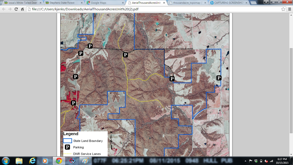
file:///C:/Users/kjenks/Downloads/AerialThousandAcresUnit%20(2).pdf
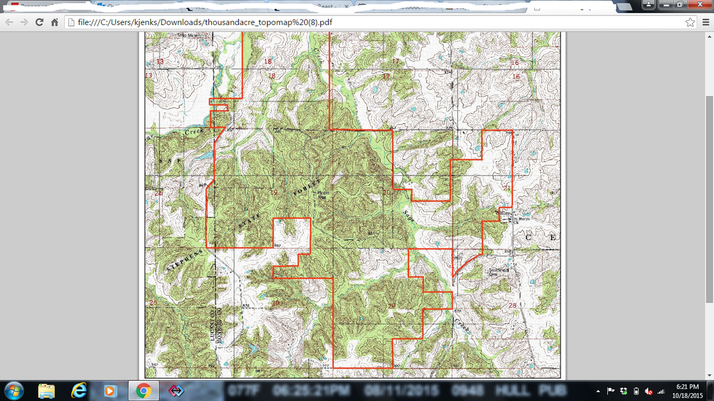
file:///C:/Users/kjenks/Downloads/thousandacre_topomap%20(7).pdf
Using Topomaps to help plan out a hunt
-
kjenks15
- Posts: 2
- Joined: Fri Sep 18, 2015 1:20 pm
- Status: Offline
-
Crazinamatese

- Posts: 5602
- Joined: Mon Jul 30, 2012 3:25 am
- Location: Wisconsin
- Status: Offline
Re: Using Topomaps to help plan out a hunt
Not seeing your maps...Use photobucket.com.
The cave you fear hides the treasure you seek!!!
-
kjenks15
- Posts: 2
- Joined: Fri Sep 18, 2015 1:20 pm
- Status: Offline
Re: Using Topomaps to help plan out a hunt
Never used Photobucket so I'm not sure if this is correct.
[img]http://i1380.photobucket.com/a[url]lbums/ah197/kjenks15/thousandacre%20arial%20map%20google_zpsl3nyfeun.png[/img]
[img]http://i1380.photobucket.com/a[url]lbums/ah197/kjenks15/thousandacre%20arial%20map%20google_zpsl3nyfeun.png[/img]
![[img]http://i1380.photobucket.com/a[url]](http://s1380.photobucket.com/user/kjenks15/media/thousandacre%20arial%20map%20google_zpsl3nyfeun.png.html)


-
Crazinamatese
- Posts: 5602
- Joined: Mon Jul 30, 2012 3:25 am
- Location: Wisconsin
- Status: Offline
Re: Using Topomaps to help plan out a hunt
After you upload a pic on photobucket there should be a URL link of the the pic on the right side of the page. Click that URL and it will automatically copy, then paste it to your reply here.
The cave you fear hides the treasure you seek!!!
-
- Advertisement
Who is online
Users browsing this forum: No registered users and 12 guests